-
×
- Home
- Art Prints ▸
- Artists ▸
- Categories ▸
- Art Styles ▸
- Picture Frame ▸
-
Print media ▸
- All print media
- Canvas Leonardo (satin)
- Canvas Salvador (matte)
- Canvas Raphael (matte)
- FineArt Photo Matte
- FineArt Photo Satin
- FineArt Photo Baryte
- FineArt Photo Glossy
- Watercolor Cardboard Munch
- Watercolor Cardboard Renoir
- Watercolor Cardboard Turner
- Watercolor Cardboard Dürer
- Natural Line Hemp
- Natural Line Rice
- Kozo White, 110g
- Kozo Natural, 110g
- Inbe White, 125g
- Unryu, 55g
- Bamboo, 110g
- Premio Unryu, 165g
- Murakumo Natural, 42g
- Bizan Natural, 300g
- Bizan White, 300g
- Aluminum composite 3mm
- Acrylic glass 5mm
- Order Sample Set
- Which print medium fits?
Canvas
Photo Paper
Watercolor Board
Natural Line
Japanese Paper
Special Media
More information
-
Help & Service ▸
- Contact us
- Sell your art
- Frequently Asked Questions
- Open Positions
- Complaint
- Order Samples
- Order Vouchers
- Shipping costs
- Production time
- Sustainability
- Image research
- Special requests
- Who are we?
- Pricing policy
- Company policy
- Quality promise
- Stretcher frame
- Passe-partouts
- Decorative frames
- Glazing
- Fillets
- Mounting systems
- Print media
- Care tips
- Imprint
- T & Cs
- Data protection
- Right of Cancellation
Info & Service
More information
Worth knowing
Legal information
- Shop ▸
- Contact


.jpg)
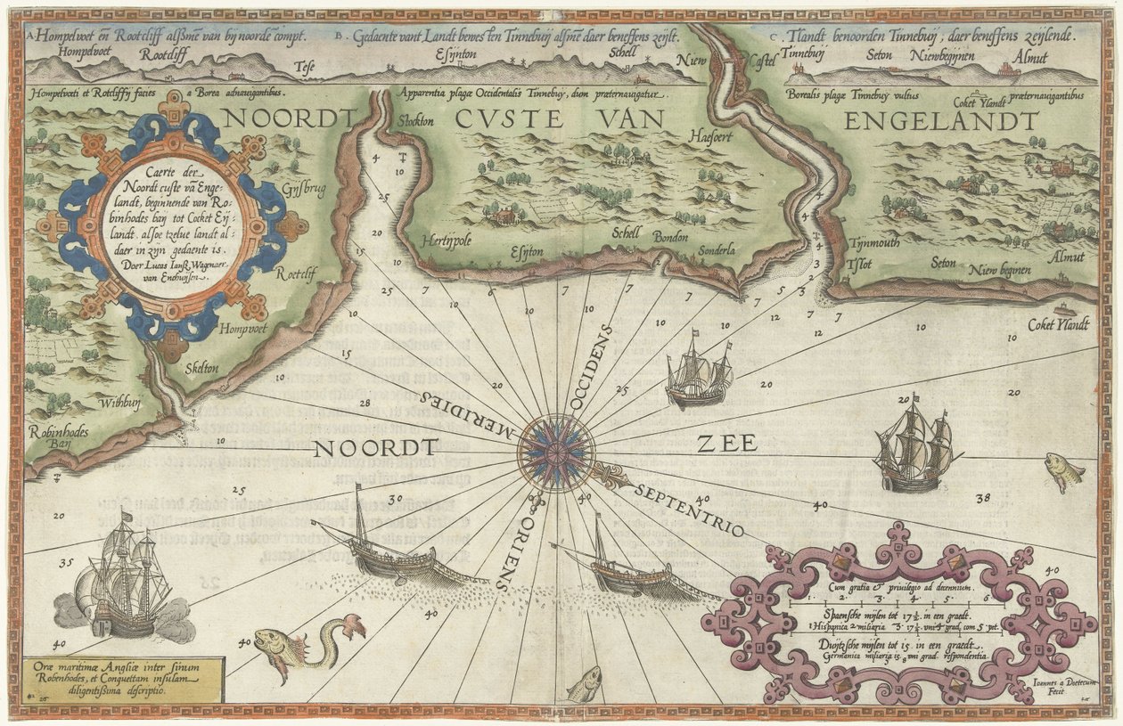
_-_Kaart_van_de_noordkust_van_Engeland_bij_Newcastle_upon_TyneCaerte_der_Noordt_cus_-_(MeisterDrucke-1360631).jpg)
.jpg)
_-_Kaart_van_de_noordkust_van_Engeland_bij_Newcastle_upon_TyneCaerte_der_Noordt_cus_-_(MeisterDrucke-1360631).jpg)
.jpg)
_-_Kaart_een_deel_van_de_kust_van_Noorwegen_en_ZwedenDe_zee_Kuste_vant_Landt_te_Noo_-_(MeisterDrucke-1360694).jpg)
_-_Kaart_van_de_kusten_van_Vlaanderen_Normandi_en_EngelandBeschrijvinghe_van_de_zee_-_(MeisterDrucke-1384641).jpg)
.jpg)
_-_Kaart_van_de_Engelse_kust_tussen_de_Isle_of_Wight_en_DoverBeschrijvinghe_der_zee_-_(MeisterDrucke-1359556).jpg)
.jpg)
.jpg)
_-_Kaart_van_de_kust_van_Noorwegen_en_Zweden_tussen_Merdy_en_UddevallaDe_Custe_van_-_(MeisterDrucke-1359183).jpg)
.jpg)
.jpg)
 - (MeisterDrucke-105045).jpg)
.jpg)
_-_Map_of_Livonia_(Die_custe_va_Lijfflandt_-_(MeisterDrucke-1408571).jpg)
.jpg)
.jpg)
_at_the_end_of_Portugal_after_the_portulan_of_Luca_J_-_(MeisterDrucke-1005451).jpg)
.jpg)
_-_Kaart_van_de_kust_van_Zweden_tussen_Kalmar_en_StockholmZee_Custe_van_Sweeden_omt_-_(MeisterDrucke-1359796).jpg)
.jpg)
.jpg)
.jpg)
.jpg)
.jpg)
_-_(MeisterDrucke-1634820).jpg)
.jpg)
.jpg)
.jpg)
.jpg)
.jpg)
.jpg)
.jpg)
.jpg)
.jpg)
.jpg)
_1936_-_(MeisterDrucke-803920).jpg)
.jpg)
_-_(MeisterDrucke-94080).jpg)
.jpg)
.jpg)
.jpg)
.jpg)
.jpg)
.jpg)
.jpg)
.jpg)
.jpg)


