-
×
- Home
- Art Prints ▸
- Artists ▸
- Categories ▸
- Art Styles ▸
- Picture Frame ▸
-
Print media ▸
- All print media
- Canvas Leonardo (satin)
- Canvas Salvador (matte)
- Canvas Raphael (matte)
- FineArt Photo Matte
- FineArt Photo Satin
- FineArt Photo Baryte
- FineArt Photo Glossy
- Watercolor Cardboard Munch
- Watercolor Cardboard Renoir
- Watercolor Cardboard Turner
- Watercolor Cardboard Dürer
- Natural Line Hemp
- Natural Line Rice
- Kozo White, 110g
- Kozo Natural, 110g
- Inbe White, 125g
- Unryu, 55g
- Bamboo, 110g
- Premio Unryu, 165g
- Murakumo Natural, 42g
- Bizan Natural, 300g
- Bizan White, 300g
- Aluminum composite 3mm
- Acrylic glass 5mm
- Order Sample Set
- Which print medium fits?
Canvas
Photo Paper
Watercolor Board
Natural Line
Japanese Paper
Special Media
More information
-
Help & Service ▸
- Contact us
- Sell your art
- Frequently Asked Questions
- Open Positions
- Complaint
- Order Samples
- Order Vouchers
- Shipping costs
- Production time
- Sustainability
- Image research
- Special requests
- Who are we?
- Pricing policy
- Company policy
- Quality promise
- Stretcher frame
- Passe-partouts
- Decorative frames
- Glazing
- Fillets
- Mounting systems
- Print media
- Care tips
- Imprint
- T & Cs
- Data protection
- Right of Cancellation
Info & Service
More information
Worth knowing
Legal information
- Shop ▸
- Contact


.jpg)
.jpg)
.jpg)
.jpg)
.jpg)
.jpg)
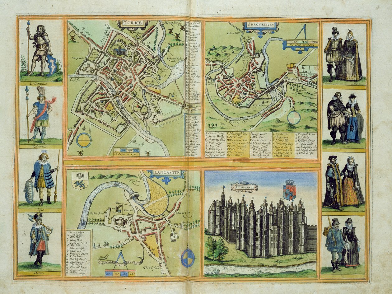
_Brau_-_Map_of_York_Shrewbury_Lancaster_and_Richmond_Castle_from_Civitates_Orbis_Terraru_-_(MeisterDrucke-1109241).jpg)
_Brau_-_Map_of_Cambridge_from_Civitates_Orbis_Terrarum_by_Georg_Braun_-_(MeisterDrucke-1109243).jpg)
_Brau_-_Cambridge_Great_Britain_-_(MeisterDrucke-1529037).jpg)
_England_(etching_-_(MeisterDrucke-1030537).jpg)
_Brau_-_Map_of_Galway_Dublin_Limerick_and_Cork_from_Civitates_Orbis_Terrarum_by_Georg_Br_-_(MeisterDrucke-1117521).jpg)
_Brau_-_Map_of_Canterbury_from_Civitates_Orbis_Terrarum_by_Georg_Braun_-_(MeisterDrucke-1104162).jpg)
_Brau_-_Map_of_Grenoble_and_Le_Mans_from_Civitates_Orbis_Terrarum_by_Georg_Braun_-_(MeisterDrucke-1104164).jpg)
_and_Fr_-_(MeisterDrucke-230633).jpg)
_Brau_-_Map_of_Chateaudun_and_Chartres_France_from_Civitates_Orbis_Terrarum_by_Georg_Bra_-_(MeisterDrucke-1110275).jpg)
.jpg)
.jpg)
.jpg)
.jpg)
.jpg)
.jpg)
.jpg)
_Brau_-_Galway_Dublin_Limerick_and_Cork_Ireland_(engraving_-_(MeisterDrucke-1056640).jpg)
.jpg)
.jpg)
.jpg)
.jpg)
.jpg)
_Brau_-_Maps_of_Urbino_and_Sulmona_Abruzzo_and_Marches_regions_Italy_from_Civitates_Orbi_-_(MeisterDrucke-1109286).jpg)
.jpg)
 - (MeisterDrucke-191029).jpg)
.jpg)
.jpg)
.jpg)
_and_Frans_-_(MeisterDrucke-304105).jpg)
.jpg)
_and_Frans_H_-_(MeisterDrucke-207892).jpg)
_and_F_-_(MeisterDrucke-156983).jpg)
.jpg)
_and_Fran_-_(MeisterDrucke-219549).jpg)
_and_Black_Stork_Killing_a_Snake_with_a_Dragons_Blood_Tree_-_(MeisterDrucke-1227895).jpg)
_and_Frans_-_(MeisterDrucke-216713).jpg)
_Butterflies_a_Dragonfly_and_Two_Small_Inse_-_(MeisterDrucke-1222612).jpg)
.jpg)
_and_Other_Birds_-_(MeisterDrucke-1224269).jpg)
.jpg)
.jpg)
.jpg)
.jpg)
.jpg)
.jpg)
 - (MeisterDrucke-215211).jpg)
.jpg)
.jpg)
.jpg)
.jpg)
 (see also 330962) - (MeisterDrucke-102658).jpg)
.jpg)
.jpg)
.jpg)
.jpg)
 - (MeisterDrucke-62465).jpg)
.jpg)
.jpg)
.jpg)
.jpg)
.jpg)
.jpg)
.jpg)
 - (MeisterDrucke-278621).jpg)
.jpg)
.jpg)
.jpg)
.jpg)
_-_(MeisterDrucke-40854).jpg)
.jpg)
_1936_-_(MeisterDrucke-803920).jpg)


